Steinbach · 68
Waterfalls
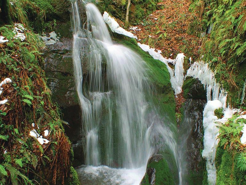
The Erzenbach Waterfall
In Steinbach, the Erzenbach waterfall, hidden in the forest near the Silberthal Clearing, is named after the ore stream in Alsatian. A marked trail leads there through the forest.
Discover this place idées.outings in Alsace
315 places
Steinbach · 68
In Steinbach, the Erzenbach waterfall, hidden in the forest near the Silberthal Clearing, is named after the ore stream in Alsatian. A marked trail leads there through the forest.
Discover this place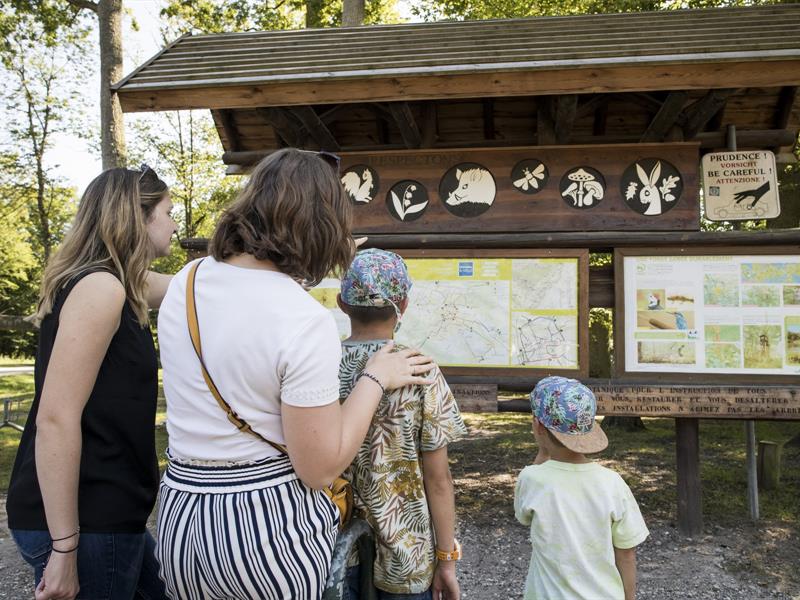
Haguenau · 67
Haguenau Forest, France’s sixth largest lowland forest, offers walks, activities, and relaxation. Gros-Chêne, the site’s heart, features playgrounds, picnic spots, and dining. Accessible walking and cycling trails wind through this green lung.
Discover this place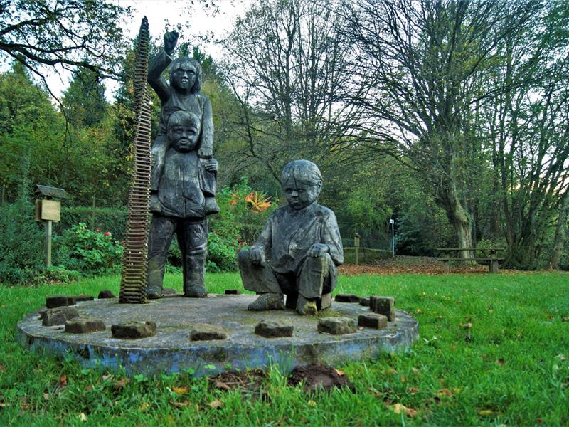
La Petite-Pierre · 67
In a rural setting, this place offers a remarkable view of the old town of La Petite-Pierre. The departure is from the Tourist Office, taking the Altenbourg path to reach the Garden of Poets, a source of inspiration and events.
Discover this place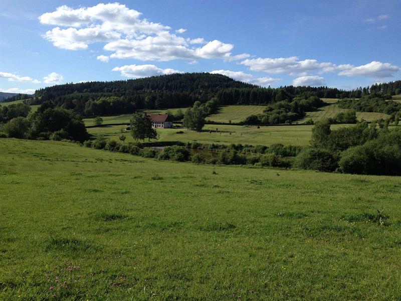
Bourg-Bruche · 67
The Bruche river rises at the foot of Climont (966 m) and crosses the Hang clearing, where glassmakers settled from 1723 before moving to Baccarat. The Hang later thrived thanks to Mennonite farmers, innovative breeders, with some families still living in the valley.
Discover this place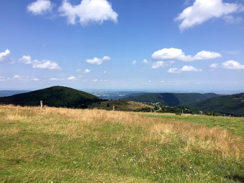
Grendelbruch · 67
The Hohbühl Signal, at 753 m altitude, overlooks Grendelbruch and offers an exceptional panorama of the Vosges Mountains and the Alsace plain. Starting point for hiking, mountain biking, and cross-country skiing.
Discover this place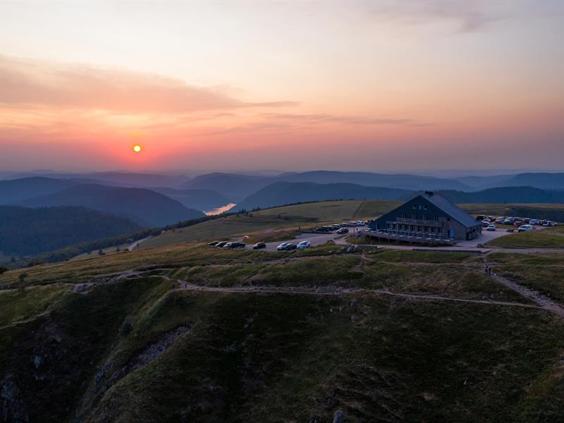
Munster · 68
The Hohneck, the second highest peak in the Vosges at 1,364 m, dominates the ridge between Alsace and Lorraine. Its trails attract hikers and chamois, while its panorama spans valleys, the Black Forest, and sometimes the Alps.
Discover this place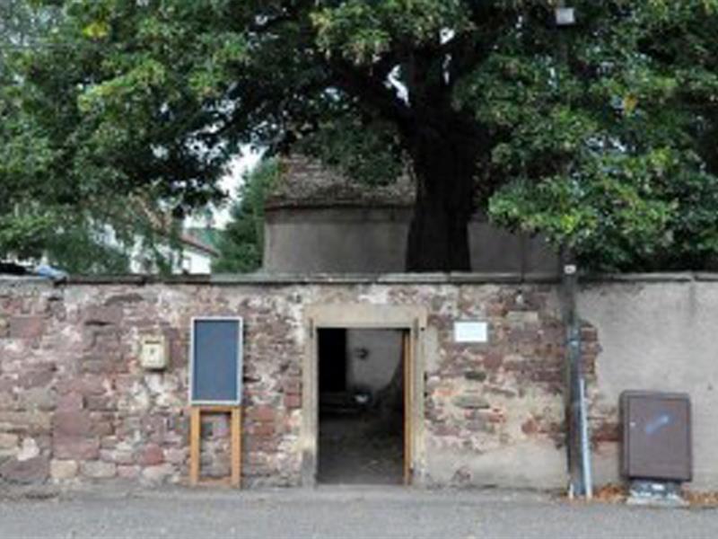
Mutzig · 67
The century-old lime tree in the courtyard of the Notre-Dame de Lorette Chapel impresses with its 3.80 m circumference trunk and 29 m height after three centuries of existence.
Discover this place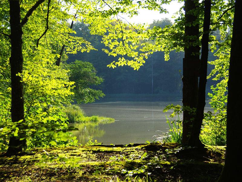
Manspach · 68
This 60-are pond, nestled between Manspach and Romagny, offers peace and tranquility. Open mid-March to mid-October, it allows carp and small fish fishing on Wednesdays, Saturdays, Sundays, and holidays. Access via GR 532 from Manspach. Daily permit €8 at Mr. Biechlin.
Discover this place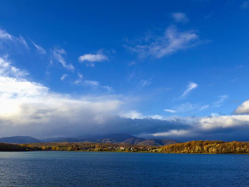
Aspach-Michelbach · 68
This dam, built between 1979 and 1982, regulates the groundwater and supplies drinking water to the Mulhouse area. Protected as a nature reserve, it features a 4 km walking trail to observe birds and Vosges landscapes.
Discover this place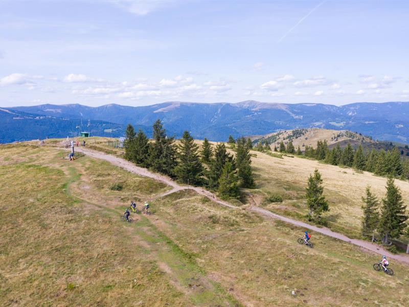
Munster · 68
The Petit Ballon, at 1,250 meters in the Munster Valley, is reachable from Wasserbourg, Luttenbach, or Sondernach. Several hikes lead there, including a 1h15 loop or a 20-minute climb to admire the valleys. Farm inns are accessible by foot or car.
Discover this place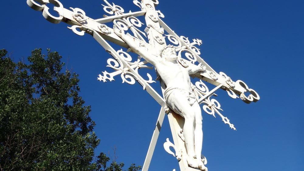
Thann · 68
The Rangen Cross, a nine-meter-tall white cast iron structure, overlooks the steep vineyards of Thann. Erected in 1900 on an Alsatian hill, it replaces an old wooden cross and offers an exceptional panorama accessible via a 2.5-hour vineyard trail.
Discover this place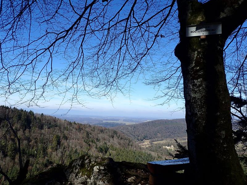
Levoncourt · 68
Perched above Levoncourt, the Raven's Rock (735 m) offers an open view of the Morimont castle ruins and the Vosges, while the Witch's Rock, near the Ebourbettes farm, overlooks the upper Largue valley and the Swiss Ajoie.
Discover this place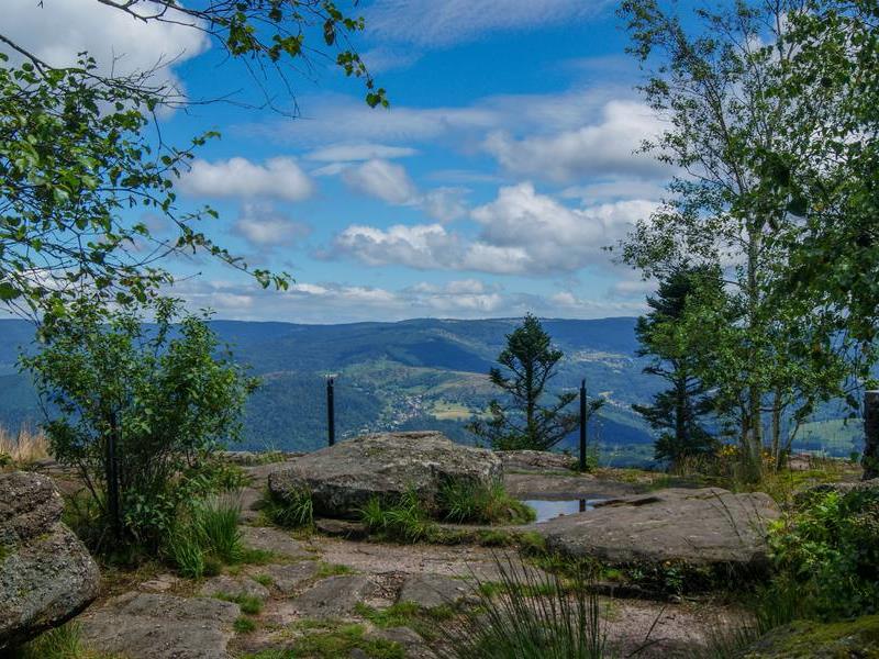
Plaine · 67
La Chatte Pendue, at 899 m altitude, offers breathtaking views of the Champ du Feu massif, the Climont, and the Donon. Its unusual name, stemming from a linguistic deformation, has intrigued people for centuries.
Discover this place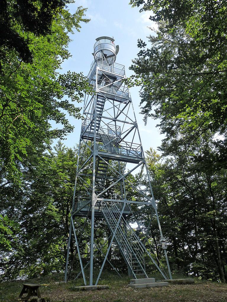
Ferrette · 68
The Rossberg Tower, built in 1906 by the Club Vosgien, now stands 20 m tall. Its summit offers an exceptional panorama of the Jura, Black Forest, Vosges, and, in clear weather, the Bernese Alps. Accessible by a 20-minute walk from Ferrette.
Discover this place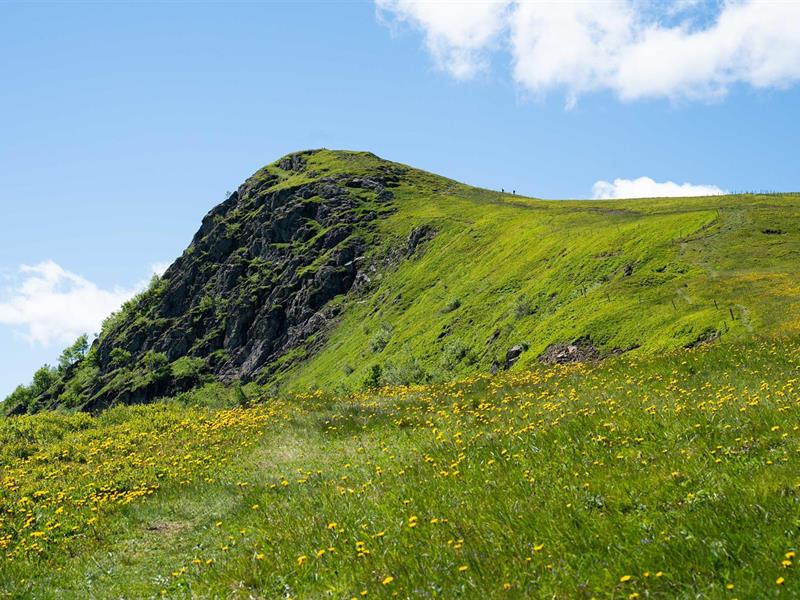
Sondernach · 68
The Rothenbachkopf, a Vosges summit at 1,316 m, overlooks the Wildenstein and Mittlach valleys. Its high-altitude grasslands and wide panoramas make it a popular spot for hikers.
Discover this place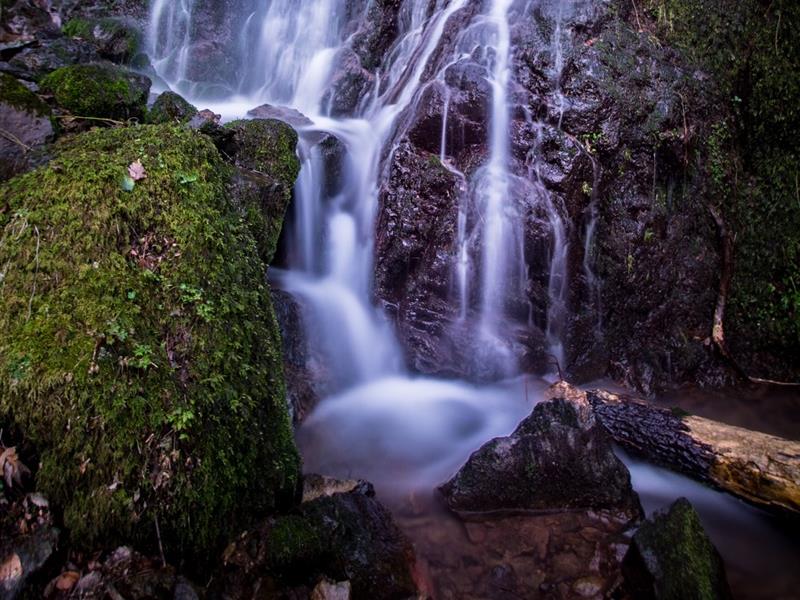
Wattwiller · 68
In Wattwiller, near Hartmannswillerkopf, follow the Siehlbaechle stream to discover its waterfall from a footbridge. This torrential stream originates at Molkenrain and passes through the village before reaching the local bottling plant.
Discover this place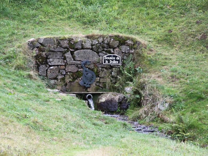
Kirchberg · 68
Kirchberg is named after its church perched on a moraine. The source of the Doller, at 922 m altitude, feeds this river crossing several Haut-Rhin communes, including Mulhouse, with untreated water of impeccable quality.
Discover this place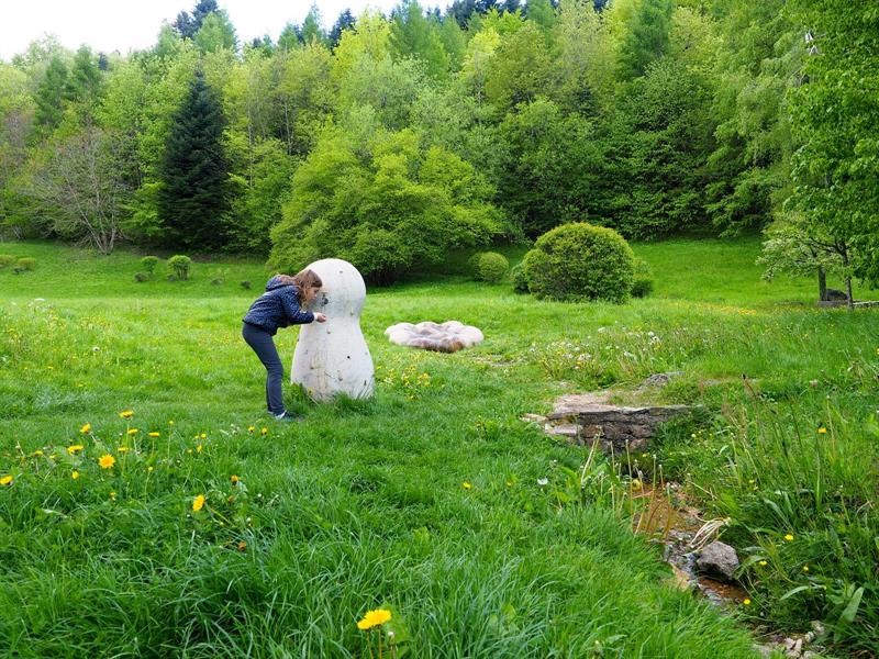
Winkel · 68
The Ill river begins in Winkel, in the Alsatian Jura, at 600 m altitude. A sculpture by Anne Rochette celebrates its birth, and the site invites visitors to stroll and discover the surroundings.
Discover this place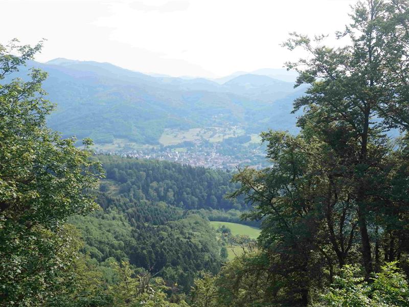
Masevaux-Niederbruck · 68
After 1871, Alsace was annexed by Germany. In 1911, a German observatory was built on the Sudel to monitor Belfort. Sabotaged in 1913, it was rebuilt then destroyed at the start of World War I.
Discover this place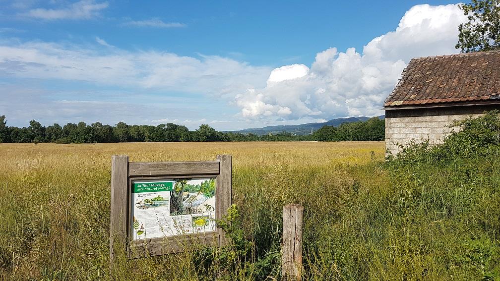
Cernay · 68
Between Vieux-Thann and Cernay, the Thur river flows freely in several arms, creating gravel islets and wetlands during floods. A fish slide and diverse vegetation make it a protected natural area worth preserving.
Discover this place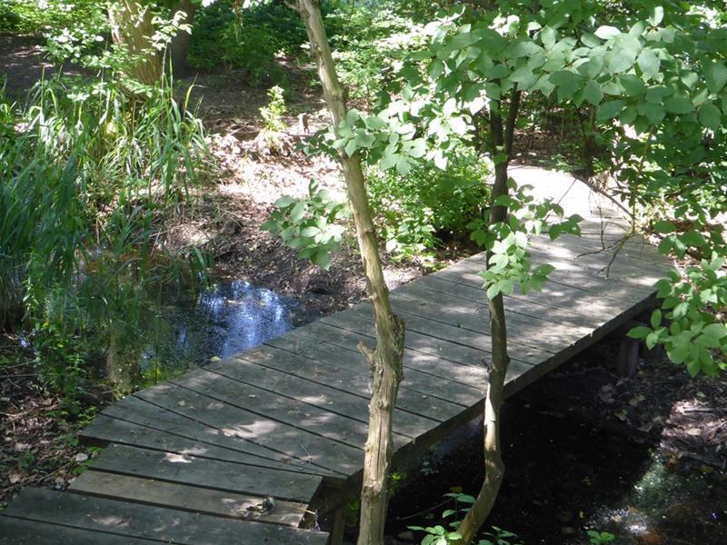
Richtolsheim · 67
This preserved natural site in the Ried, a former dead arm of the Rhine, offers a refuge for local wildlife and plants. Self-guided visits with a brochure available, accessible from Richtolsheim towards Schoenau.
Discover this place
Reichsfeld · 67
The Ungersberg massif, reaching 901 meters, offers breathtaking views over the Alsace plain and the Vosges. Its mineral-rich subsoil supported historic mining, while its biodiversity is remarkable.
Discover this place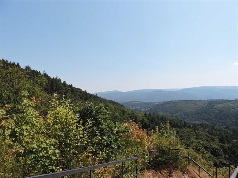
Oberhaslach · 67
Panoramic viewpoint freely accessible near the ruins of Hohenstein Castle, with several hiking trails including the one recommended by the Molsheim-Mutzig Regional Tourist Office.
Discover this place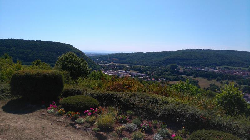
Dinsheim-sur-Bruche · 67
The statue of Notre-Dame de Schiebenberg overlooks the village of Dinsheim-sur-Bruche and offers a panorama of the Bruche Valley, accessible in 2 hours round-trip walk from the village center.
Discover this place